| ◀ |
DOROTHY 1970 |
▶ |
|
|
Retour à l'accueil |
|
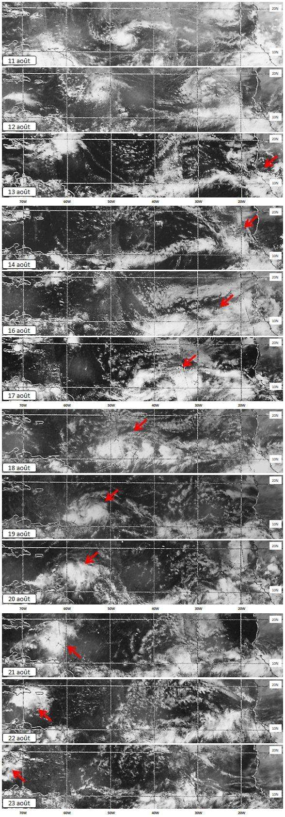
Cyclone tropical DOROTHY Satellite TIROS M - 17 au 22 août 1970 Source de données N.S.I.D.C Dataset (Cliquer sur l'image pour agrandir) |
||
|
1
17/08/1970 - 17h15 UTC
2 18/08/1970 - 18h10 UTC 3 19/08/1970 - 17h15 UTC |
Evolution quotidienne de la perturbation Diagramme de Hovmöller 
|
4
20/08/1970 - 18h10 UTC
5 21/08/1970 - 17h15 UTC 6 22/08/1970 - 18h10 UTC |
|
Dataset : Campbell, G. 2019. NOAA Polar-Orbiting Operational Environmental Satellites (POES) Global Visible and Infrared Band Data from ESSA (1966 - 1972) and NOAA (1972 - 1978) Satellites, Version 1. doi: https://doi.org/10.7265/N5PN93TV. |
